




President Donald Trump has expanded his recent geographic rebranding campaign by sharing AI-generated maps that portray parts of Canada, Mexico and other foreign territories as part of an enlarged United States.
Eko Hot News reports that the latest digital maps represent another development in Trump’s use of maps and geographic imagery to promote his broader vision of an expanded American sphere.
The maps have attracted attention because they depict territories outside the United States within an imagined version of a larger America.
The development follows Trump’s earlier focus on changing or promoting alternative names for certain geographic locations.
His approach has increasingly incorporated digital imagery, social media posts and AI-generated content to communicate his views on geography and national identity.
The latest maps extend that strategy beyond locations within the United States.
Canada and Mexico are among the territories shown in the expanded geographic representations.
Other foreign territories are also depicted as belonging to a broader version of America in the digital material.
The maps should not be interpreted as official changes to international borders or the legal status of the territories shown.
Instead, they represent political and visual messaging associated with Trump’s broader geographic campaign.
The use of AI-generated maps has also added a modern digital dimension to the campaign.
Artificial intelligence allows highly detailed geographic images to be created and shared quickly across social media platforms.
Such images can attract significant public attention because they combine familiar maps with hypothetical political concepts.
Trump has previously used geographic references to promote his views on US national interests and territorial ambitions.
His comments and online posts have repeatedly generated discussion about the relationship between political messaging and traditional geographic boundaries.
The latest development has similarly prompted interest because of the scale of the territories represented.
Canada and Mexico share land borders with the United States and maintain extensive economic, cultural and diplomatic relationships with Washington.
Any actual change to their territorial status would require far more than a political statement or digital representation.
International borders are governed by treaties, national laws and established diplomatic arrangements.
Therefore, the AI-generated maps do not constitute a formal alteration of the borders between the United States and its neighbouring countries.
The images instead illustrate a political concept presented through digital media.
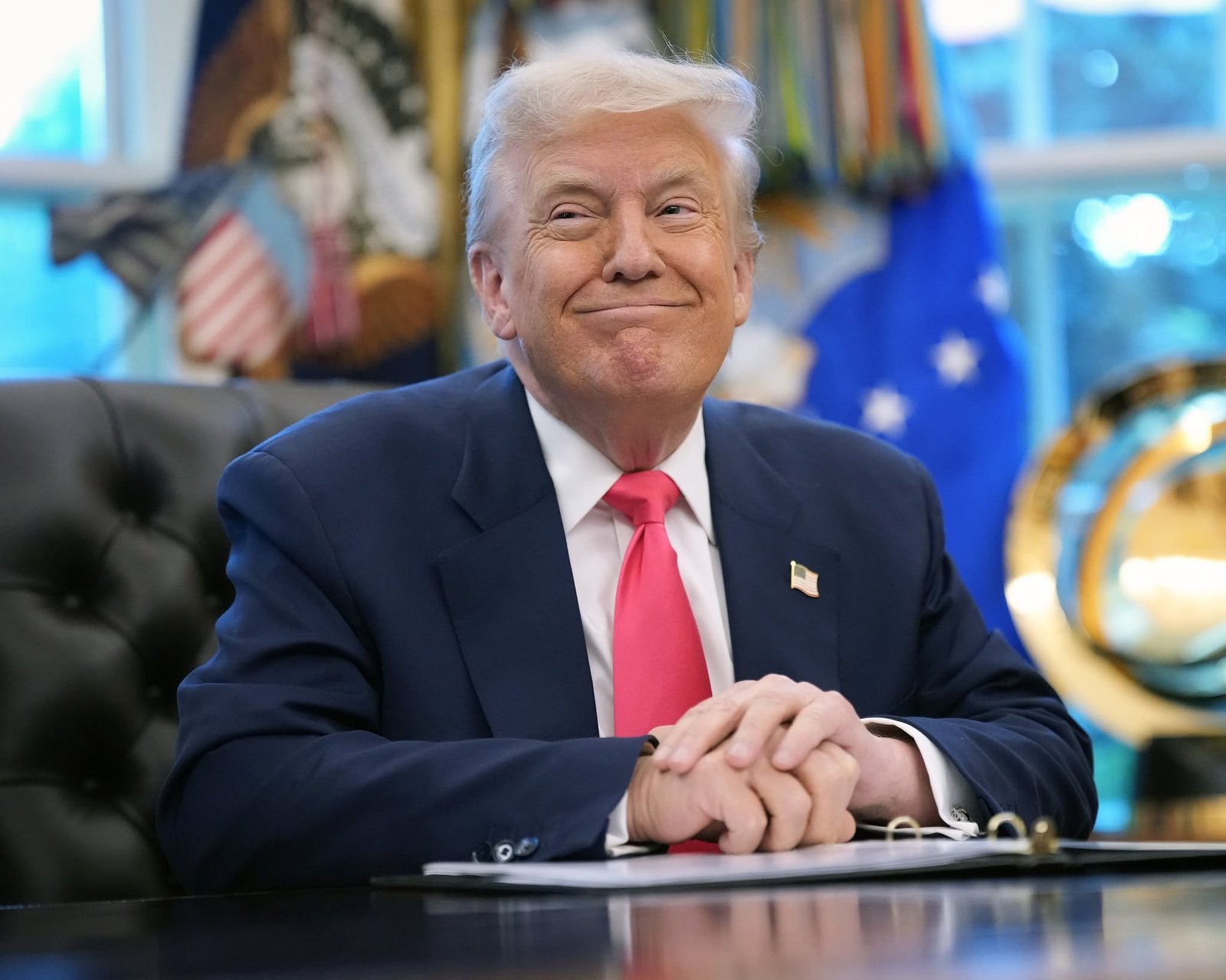
Trump’s continued use of maps also reflects the importance of visual communication in modern political campaigns.
Maps can present complex ideas in a simple format and quickly attract attention from audiences around the world.
The use of AI has further expanded the possibilities for creating such political imagery.
Supporters may view the maps as expressions of Trump’s broader vision for American influence and national interests.
Critics, meanwhile, may interpret the imagery as provocative political messaging about territories belonging to neighbouring countries.
The differing reactions demonstrate how geographic imagery can generate political debate even when it does not represent an official government action.
The development also comes amid continued discussion about Trump’s approach to Canada, Mexico and US foreign relations.
Both countries remain important partners for the United States in areas including trade, security, migration and regional cooperation.
Changes in the way American leadership discusses neighbouring countries can therefore attract attention beyond domestic politics.
Trump’s geographic messaging has become another area where political communication intersects with technology.
The use of AI-generated content allows hypothetical scenarios to be presented in visually compelling ways.
However, such material can also make it important for audiences to distinguish between political imagery and official government policy.
The latest maps do not by themselves establish any legal claim over the territories represented.
They instead form part of Trump’s broader campaign of geographic rebranding and political messaging.
The development highlights how social media has changed the way political figures communicate ideas about national identity and geography.
Rather than relying exclusively on traditional speeches or official documents, political messages can now be presented through instantly shareable digital images.
AI-generated content has made this process even more accessible.

As Trump continues to use geographic imagery in his public communication, further debate is likely to emerge over the political meaning of the maps.
The latest representations have also renewed attention on the importance of established borders and international relationships.
For observers, the distinction between symbolic political messaging and formal government policy remains important.
The maps may attract headlines and generate discussion, but they do not independently change the territories or borders depicted.
Trump’s latest geographic campaign therefore represents another example of how digital tools are being used to promote political ideas.
The development combines AI technology, social media and geographic imagery to communicate a vision of an expanded America.
As the conversation continues, attention will remain on how such imagery influences public debate about US relations with neighbouring countries and other nations.